Hi,
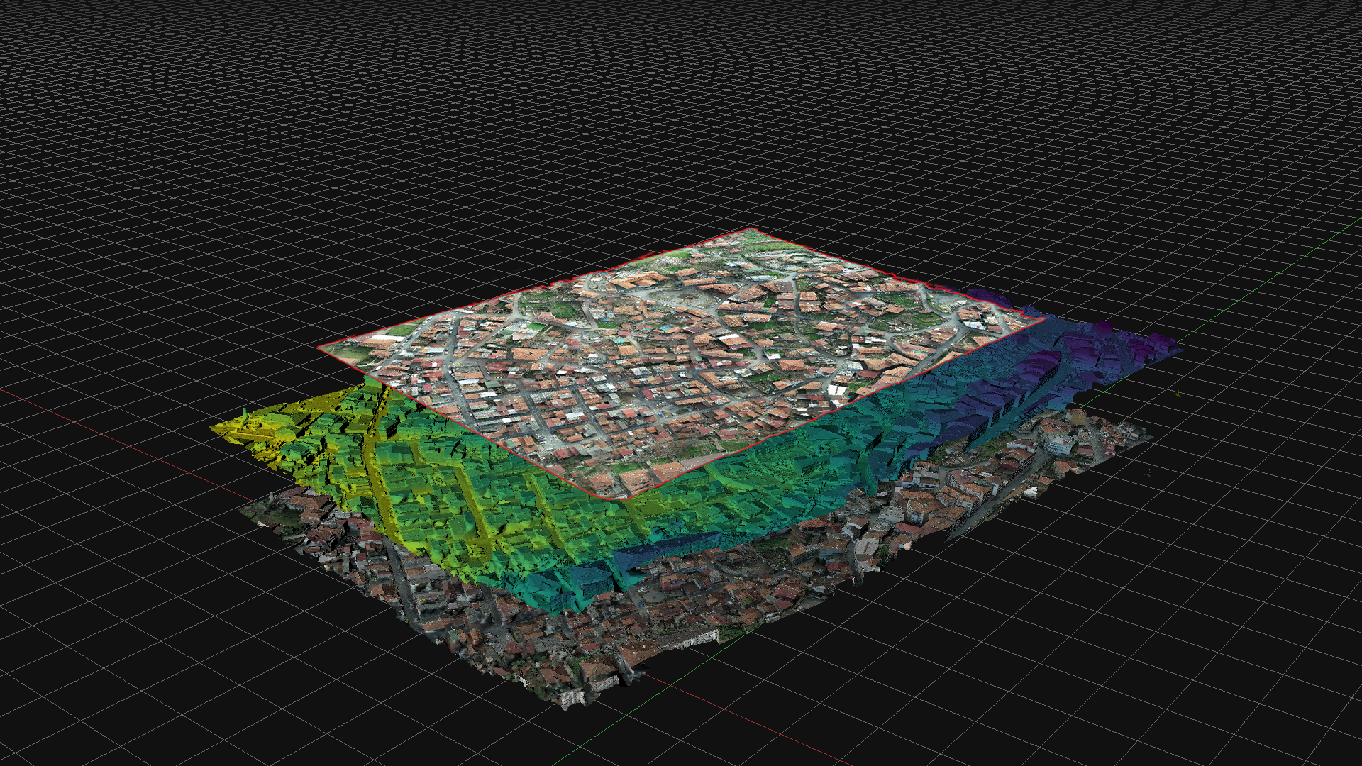
you'll need to create an orthophoto/orthomosaic, then on export make sure to pick the proper format (geotiff) and check the DEM option
Here's a tutorial:
-
How to create a georreferenced DEM as a raster
Dear colleagues:
I have generated a georeferenced 3D model in Zephyr of a karst ‘floor’ of a cave. I am interested in transforming this model into a georeferenced DEM, understood as a raster, i.e. as a GeoTiff. I intend to incorporate this DEM into a GIS and work statistically with it in this digital environment. How should I do in Zephyr in order to have this DEM?
Thanks in advance.
Lapicito.

Leave a comment: