 | The 3DF Zephyr family welcomes its newest member!
3DF Zephyr Aerial will be available for purchase from tuesday, October the 13th, 2015, with the scheduled 3DF Zephyr 2.1 update. |
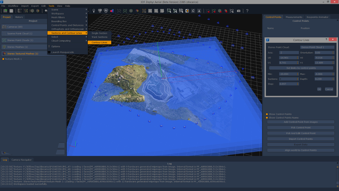
With its first release, 3DF Zephyr aerial will feature new tools for contour lines generation (both manual and automatic generation) , single sections and track sections. Other improvements include a better georeferencing system (supporting Projected Coordinate Systems) and Exif/GPS data integration.
Those who already purchased 3DF Zephyr 2.0 before this announcement will be offered a time limited offer to upgrade their license from Pro to Aerial completely for free.
More information will be available in the upcoming days.