Case studies


The Role of Photogrammetry for Forensic Analysis

Device:Canon camera EOS R6 Full Spectrum
Targets:6 3DF Zephyr coded markers
Lighting:Torches with standard, infrared and ultraviolet lighting
Tags:Photogrammetry, Forensics, Documentation
Over the last few years, photogrammetry has proven to be a very effective tool for digital data collection in the vast field of forensic investigations, going way beyond the “simple” photo acquisition.

In this case study, we will show you how this method can be truly helpful with some 3D projects that we of 3Dflow made together with Canon Italy and forensic experts, using Canon’s EOS R6 Full Spectrum camera for the photo acquisition and 3DF Zephyr photogrammetry software for the data processing, with the aim to replicate some of the most common forensic scenarios.


View Case Study

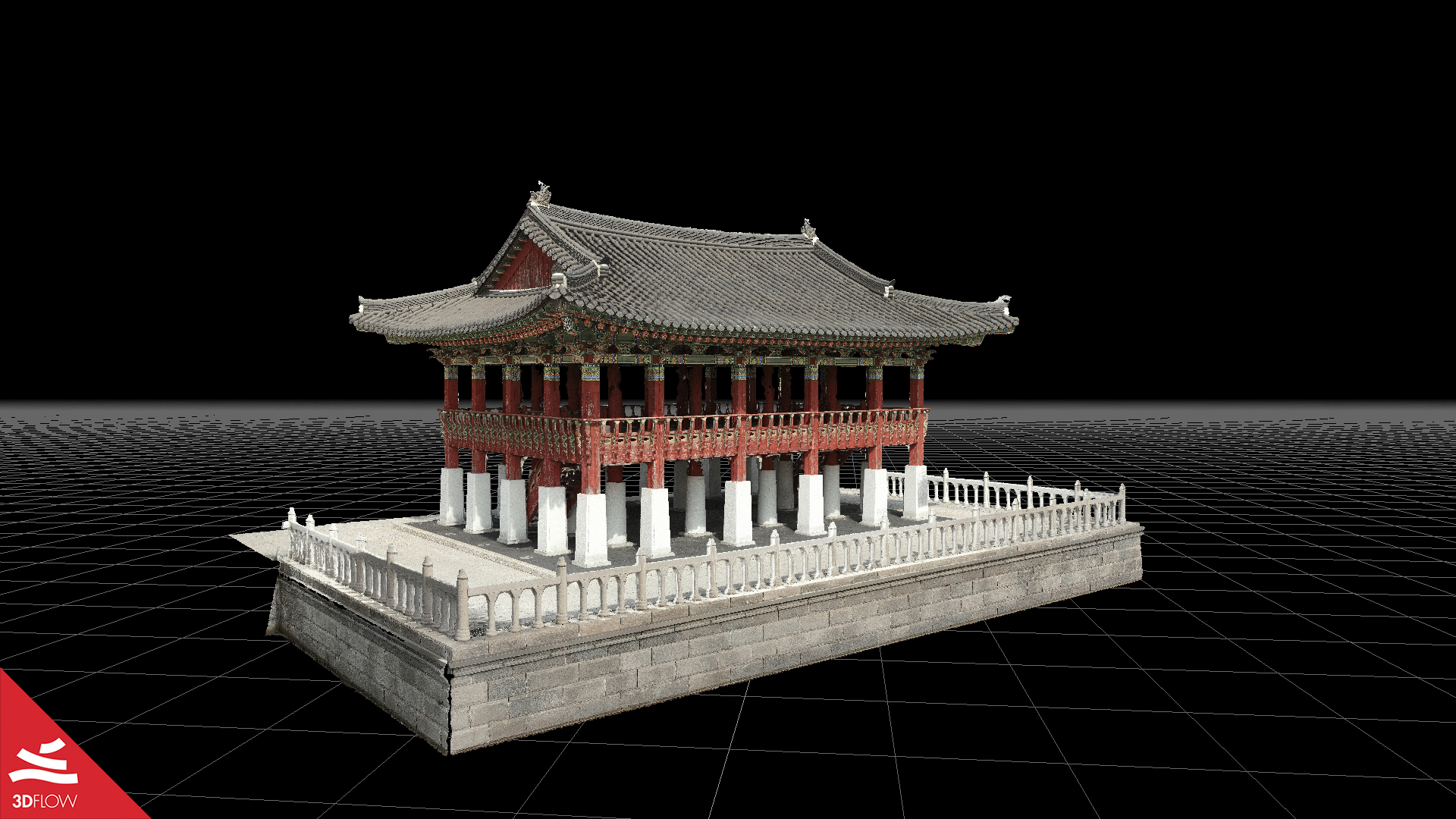
cheongnaru_pavilion_koseco_texturedmesh

The Cheongnaru Pavilion in Cheongna Lake Park, Incheon, South Korea

Aerial Photogrammetry, Drone Survey, RTK, UAV, Mapping


Many thanks to our Korean reseller Koseco for kindly providing us with the data for this case study focused on the so-called “Cheongnaru Pavilion” (“청라루”), a Korean traditional building located on the north side of Cheongna Lake Park, a public park located in Incheon, South Korea.

Their main goal was to retrieve and reconstruct the building using aerial drone photogrammetry, in order to extract a high-resolution 3D model to use for promo purposes while also delivering for their customers a perfect reference of those ancient vibes steeped in Korean history.

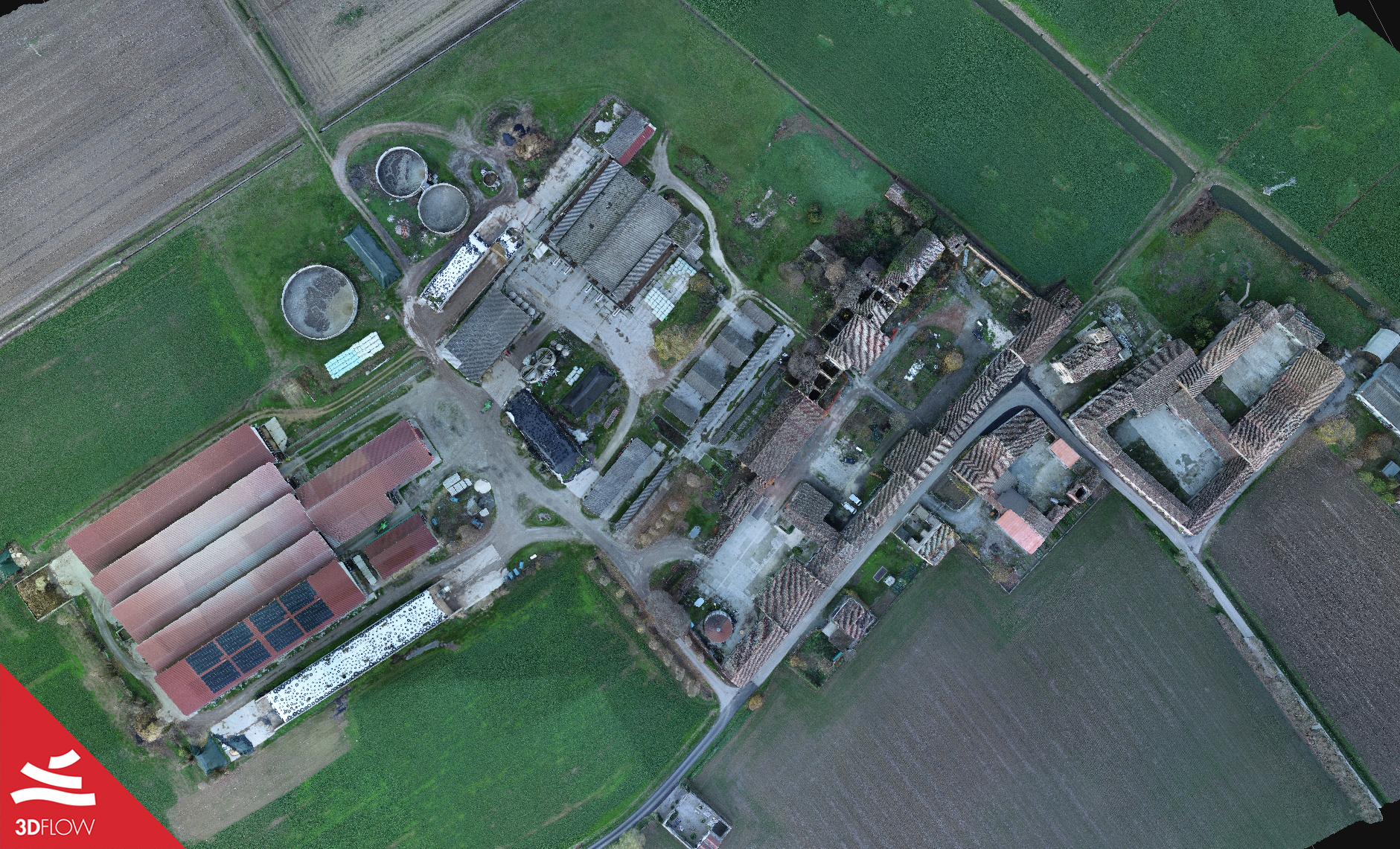
Photogrammetry + LiDAR with the DJI Zenmuse L1

Aerial Photogrammetry, LiDAR module, Mapping, Drone Survey


Many thanks to Simone Dall’Asta of DL Droni for sharing with us the data for this case study, showcasing an aerial survey made over a small town in the province of Cremona (Lombardy, Italy) with the drone DJI Matrice 300 RTK equipped with Zenmuse L1 technology.

This new solution that integrates RGB data from pictures and LiDAR aims at the best accuracy possible of the final output, both in terms of geometry and texture. Besides, in this case study, you will see the specific step-by-step workflow to follow in 3DF Zephyr.

View Case Study

View Case Study

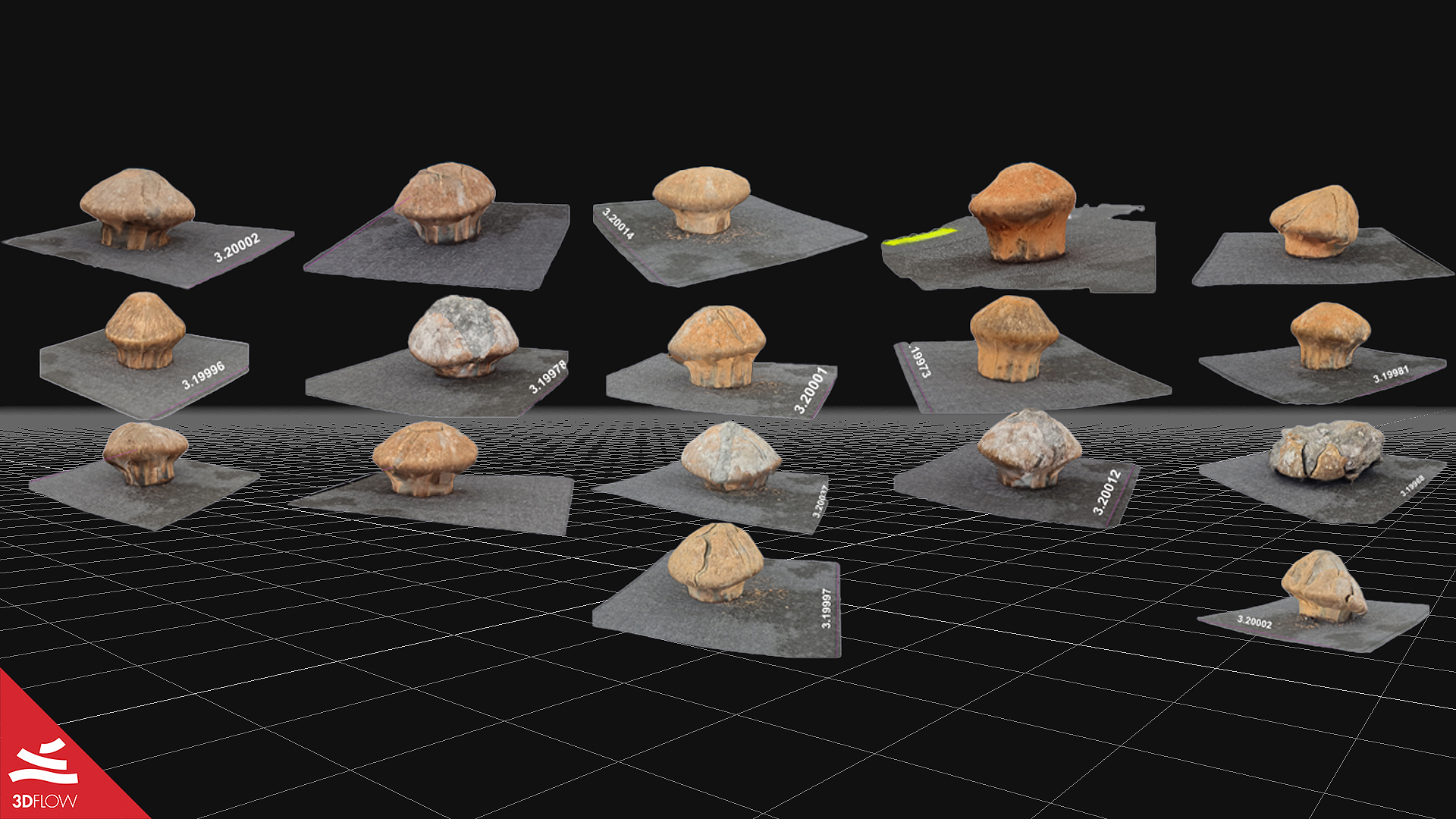
forensics_project_3df_zephyr_grid

3D Photogrammetry for Projectile Deformation Analysis

Photogrammetry, Forensics, Ballistics, Projectiles, Project Analysis


Many thanks to Forensic expert Rafael Rodrigues Cunha for providing us with all the data for this case study, focused on a photogrammetry technique tested to assess projectile deformation using 3DF Zephyr. The study showed how photogrammetry can significantly help forensic applications and ballistic studies.

The project has been fully presented during InterForensics 2021, considered the most important Forensic Science event in Latin America that took place on November 2nd to 5th, 2021 in Foz do Iguaçu/pr, Brazil.

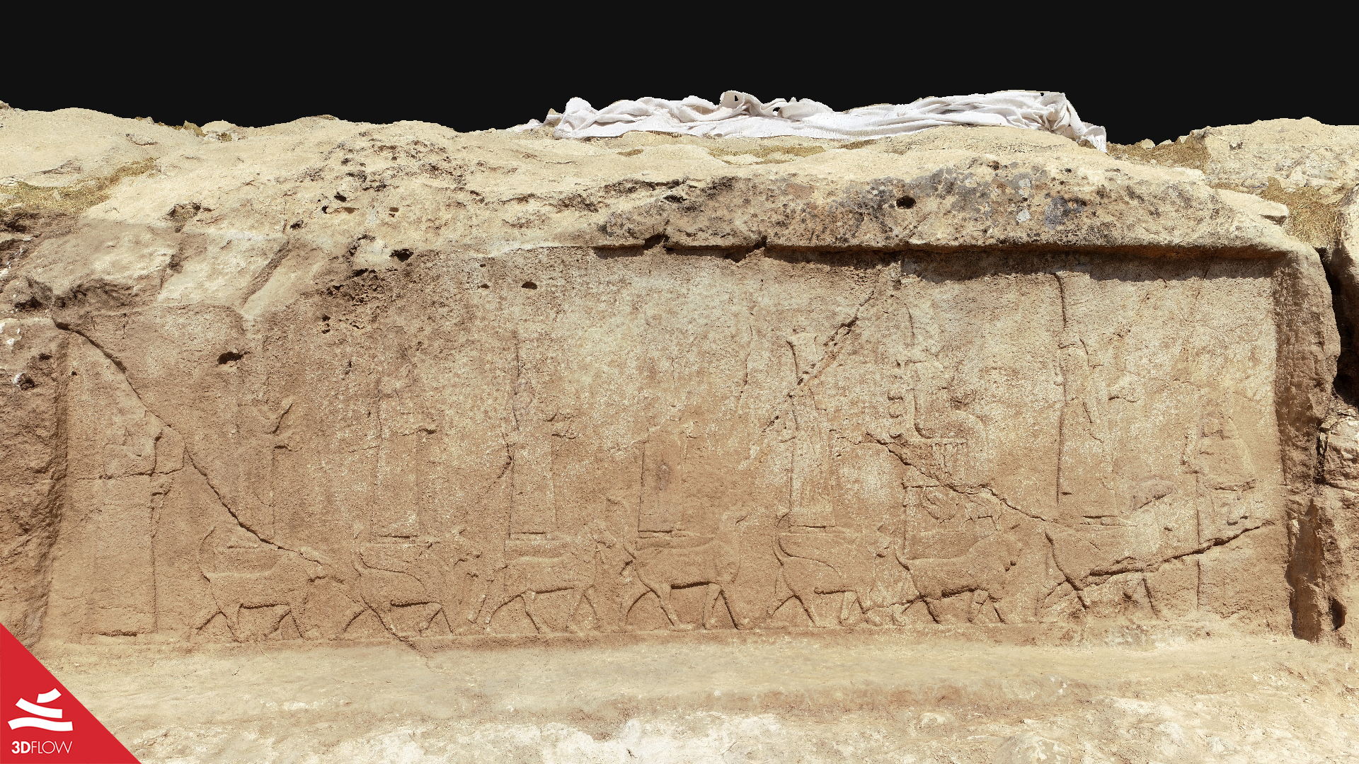
Worldwide Award to the discovery of the Faida rock reliefs

Archaeology, Ancient Art, Reliefs, Aerial Photogrammetry, UAV, Mapping


Two years ago, the team of the “Kurdish-Italian Faida Archaeological Project” (KIFAP) found ten Assyrian rock reliefs in Faida, northern Iraqi Kurdistan. The archaeological mission was conducted by Professor Daniele Morandi Bonacossi from the Department of Humanities and Cultural Heritage (DIUM) of the University of Udine together with the Directorate of Antiquities of Duhok.

We are incredibly proud of having contributed with 3DF Zephyr to this wonderful finding, awarded as the most important archaeological discovery of 2019 and winning the International Archaeological Discovery Award “Khaled al-Asaad”.

View Case Study

View Case Study

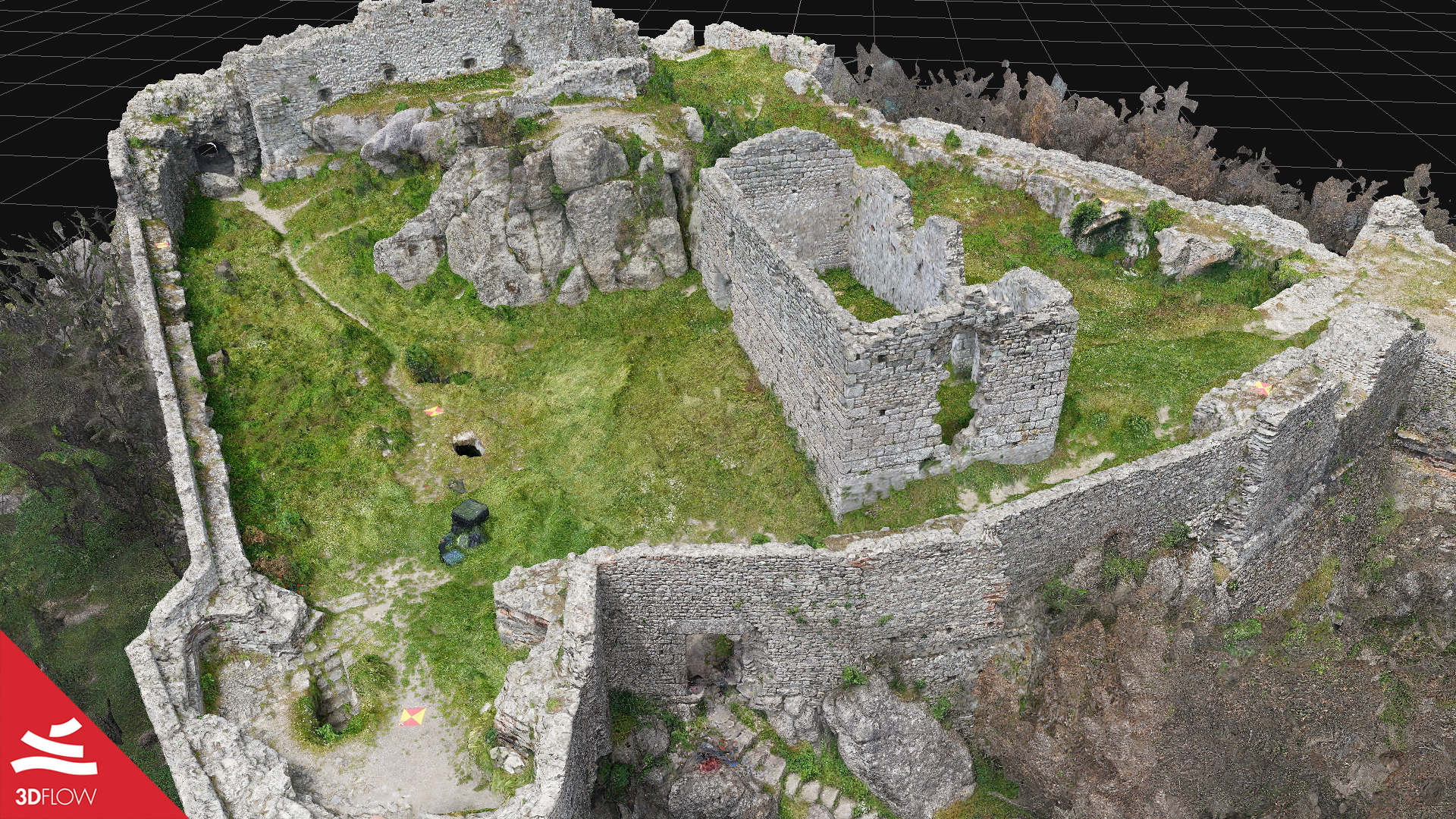
verruca_fortress_textured_mesh

The Verruca Fortress

Architecture Survey, Aerial Photogrammetry, UAV Systems, Cultural Heritage, Laser Scanning


Professor Giovanni Pancani from the Architectural Department DIDA of University of Florence, Italy, carried out a surveying project affecting the so-called “Verruca” Fortress together with Ph.D. Matteo Bigongiari and a group of his students.

This ancient fortress, located upon the homonymous Mount Verruca in the Province of Pisa (Tuscany, Italy), is in an advanced state of decay; for this reason, the goal of this project was its 3D reconstruction, using both photogrammetry and laser scanning, to extract further outputs, essential to perform instrumental analysis through the study of the morphological profile of the rock and identify the degree of damage and deformation.

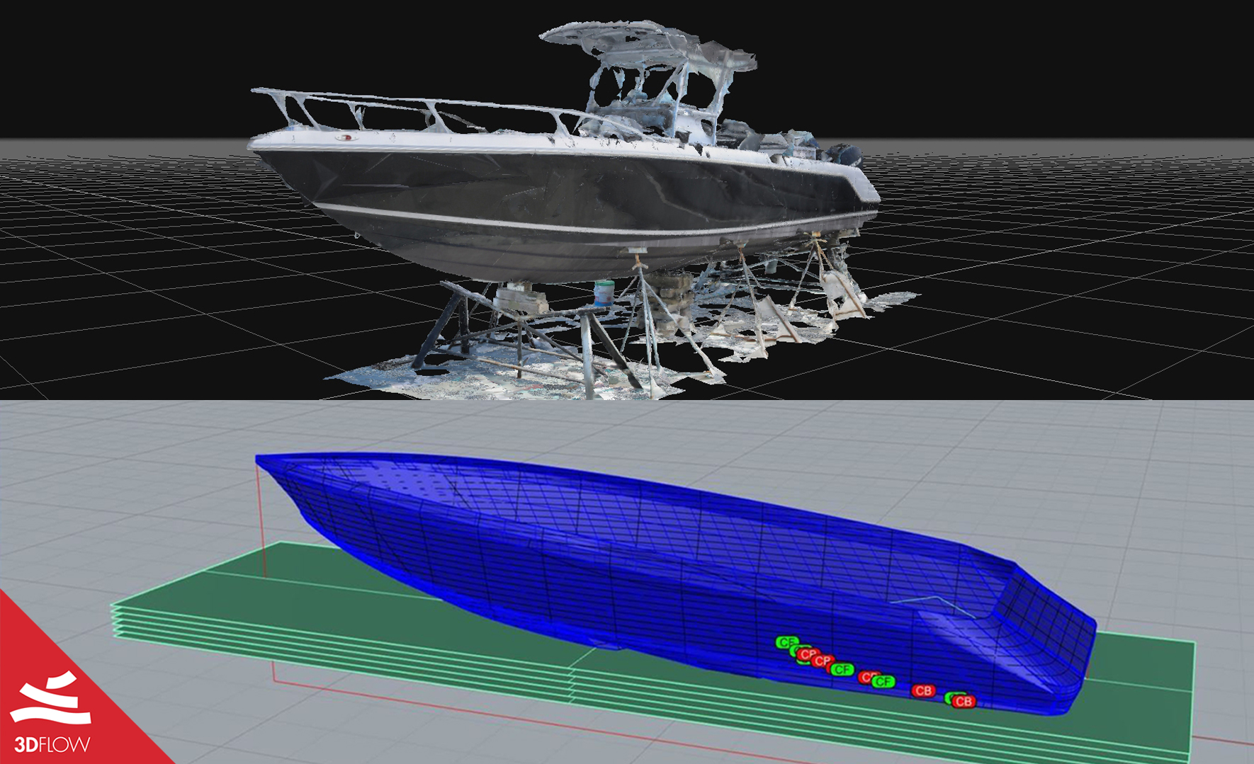
Photogrammetry for hull design and boat modeling

Marine Engineering, CAD Drawing, Reverse Engineering


Marine Engineer Edgar Tovar of A.T. Suministros S.A. de C.V. showcased a workflow in which he combined photogrammetry, CAD drawing, and reverse engineering to hull and boat 3D reconstruction using 3DF Zephyr Lite, Rhinoceros 7, and Orca3D.

View Case Study

boat_hull_case_study

View Case Study

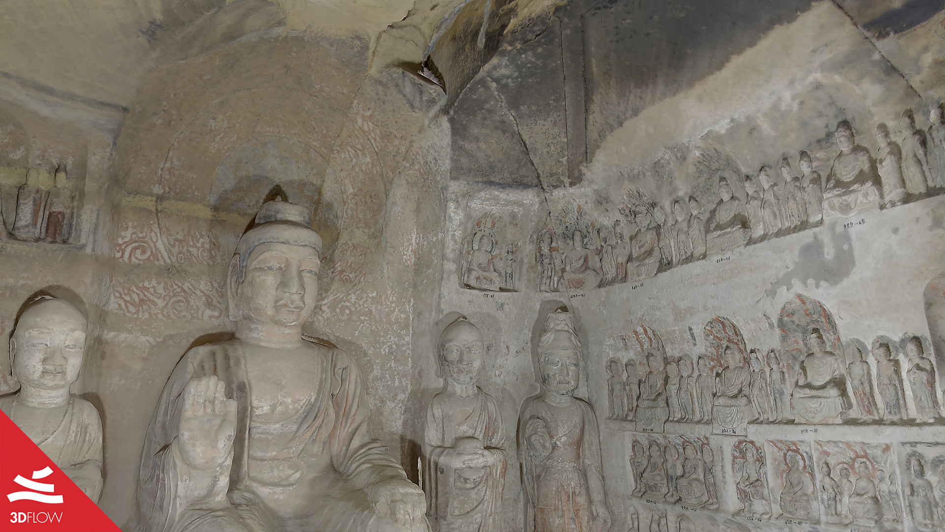
north_grotto_temple_mesh

The North Grotto Temple – 360° Photogrammetry for Cultural Heritage

Full Spherical Images, Photogrammetry, Cultural Heritage, Cave Temple, HDRI


Christiane Zhao from Weiss AG kindly provided us with the data for the following case study, which showcases all the workflow steps for the 3D reconstruction of the Qingyang Bei shi ku si (referred to as “North Grotto Temple” in this article), one of the four major cave temples in Gansu province, Northwest China.

Over time, it has been facing several physical threats, and to properly ensure its conservation, a multidisciplinary team digitalized the temple by using a 360° HDR camera.

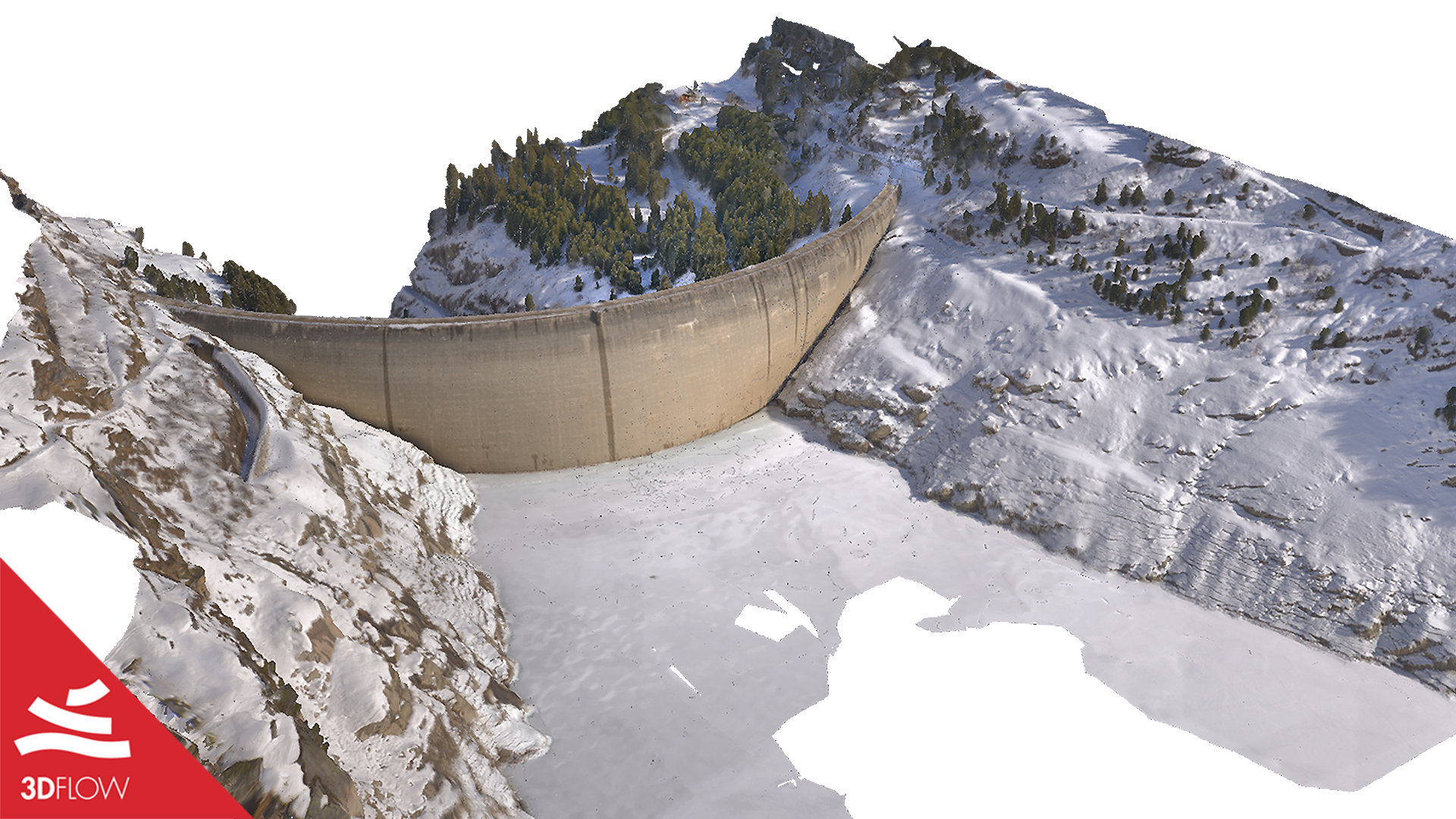
The Zerveilla Dam – Photogrammetry for TV Show’s VFX

VFX, Virtual Reality, Tv Series, Aerial Photogrammetry, Lidar Scan


Digital artist Chris Blaser of VFX Swiss company g3D art-e-motion has recently been scanning the Zerveilla dam located in a reservoir near Vals, Switzerland, by means of drone photogrammetry combined with Lidar scans. The 3D models of the dam were used as part of references and digital props for the VFX shots of season 4 of a Swiss TV show called “Wilder”, directed by Claudio Fäh and produced by c-films.

View Case Study

zervreila_dam_textured_mesh_front

View Case Study

Archeologia Invisibile Egyptian Museum Turin

The exhibition “Archeologia Invisibile” at Museo Egizio of Turin

Temporary Exhibition, Archaeology, Archaeometry


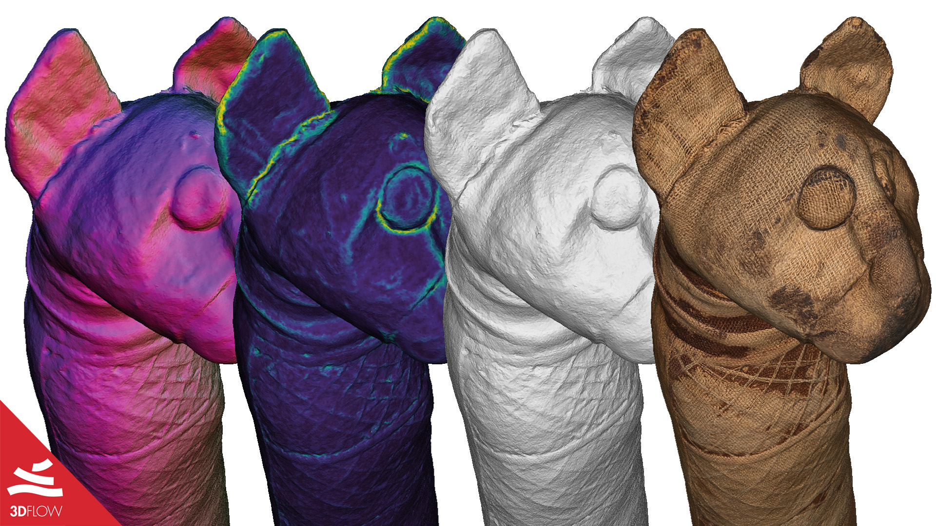
All the data collected for this case study have been kindly provided by the Photography Department of the Museo Egizio of Turin, which set up a truly innovative temporary exhibition named “Archeologia Invisible” back in March 2019. Archaeometry played a key role for this exhibition along with photogrammetry, whose aim was that of unveiling the unique hidden stories of several archaeological findings through their 3D models and the usage of disciplines such as chemistry, physics and radiology that went beyond their exterior appearance.

3D facial capture using a custom-built photogrammetry setup for Orthodontics

Digital Orthodontics, Facial Capturing


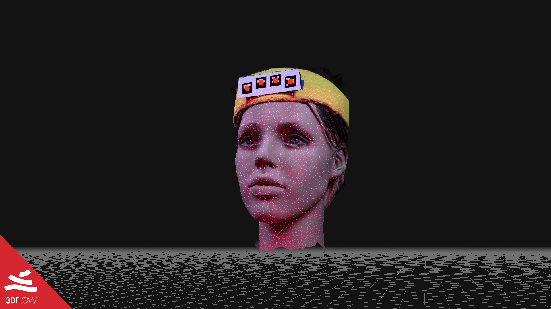
All the data collected here have been kindly provided by Hans Wellens, a Belgian orthodontist and Ph.D. at Radboud University Nijmegen in the Netherlands. Together with other researchers from different Universities of Belgium and Netherlands, he developed a custom-built photogrammetry system for 3D facial capture to be used for Orthodontics. Their work aimed at providing a cheaper while still competitive solution with respect to other state-of-the-art systems already available on the market. The article of the project has been recently published in the American Journal of Orthodontics and Dentofacial Orthopedics (Volume 158, Issue 2, August 2020).

View Case Study

facial_photogrammetry_mesh_with_markers

View Case Study

Photogrammetry Survey Piadena Drizzona

The Aqueduct Tower of Piadena Drizzona

Aerial Photogrammetry, Building Monitoring


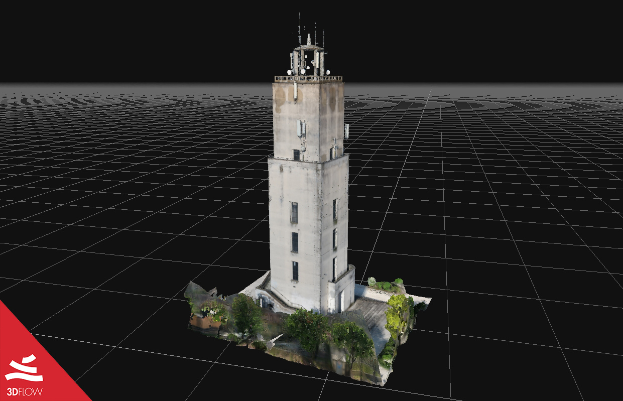
All the data collected here have been kindly provided by the Italian company DL Droni Srl. The subject of this case study is an aqueduct tower located in Cremona, Italy, damaged due to the lack of maintenance over the years.
Within the next months is going back to being property of the Municipality of Piadena Drizzona, which is now aiming to develop a recovery project of the building through a visual and close analysis of the structure, along with a 3D reconstruction of the tower.

Redevelopment for the New Museum of Modern Art in Brescia

Architecture, Aerial Photogrammetry, Cultural Heritage


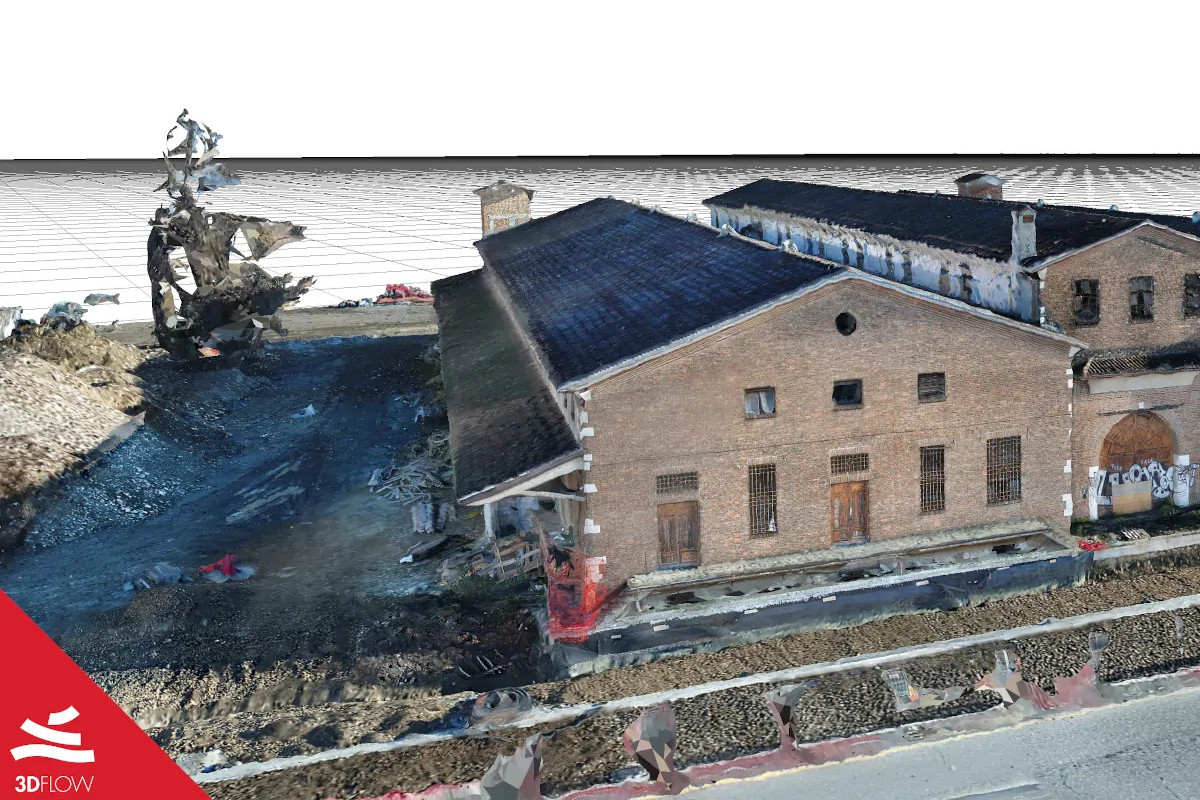
Nicola Liguori, graduating student in Building Engineering from Polytechnic University of Milan, Italy, carried out his dissertation project in collaboration with the Museum of Santa Giulia of Brescia, Italy, which felt the need to expand the warehouses for its artistic works. His project focused on aerial photogrammetry with UAV systems to digitally reconstruct the disused building called “Casere”, aiming to collect useful information for its redevelopment for the future Museum of Modern Art in Brescia.

View Case Study

Photogrammetry Case Study Brescia

View Case Study

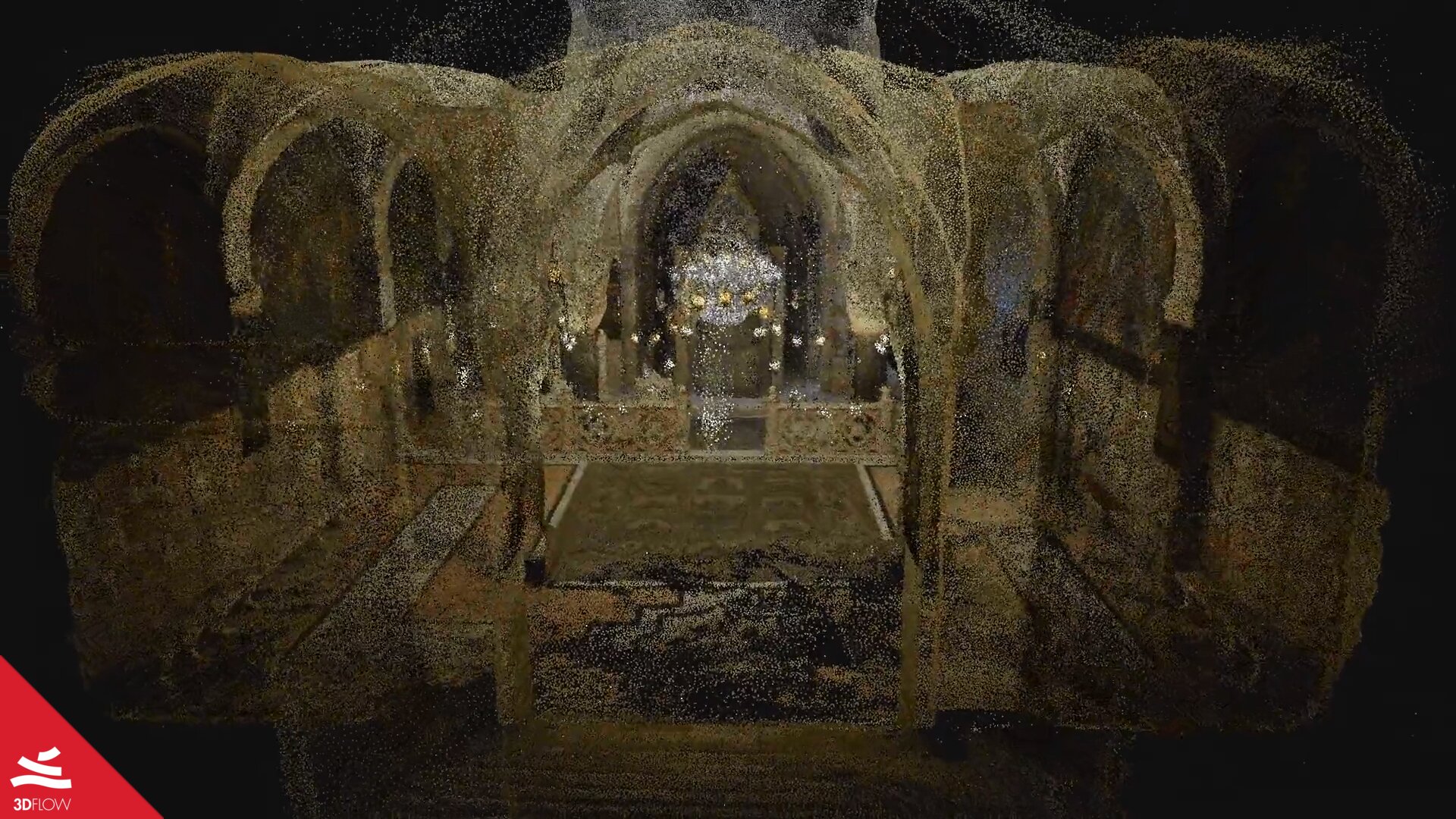
The New Jerusalem VR

The New Jerusalem

Point Cloud, Cultural Heritage


All the data have been kindly provided by Israeli artist Doron Altaratz, a Ph.D. candidate in communications and media studies at the Hebrew University and a Senior Lecturer at the Hadassah Academic College and Bezalel academy of Art and Design. Doron’s research currently concerns the social interactions of users with media and technology.
The project, in collaboration with electronic musician Ariel Karsh, was part of an international residency program at the Arebyte Gallery of London, with Rebecca Edwards as curator.

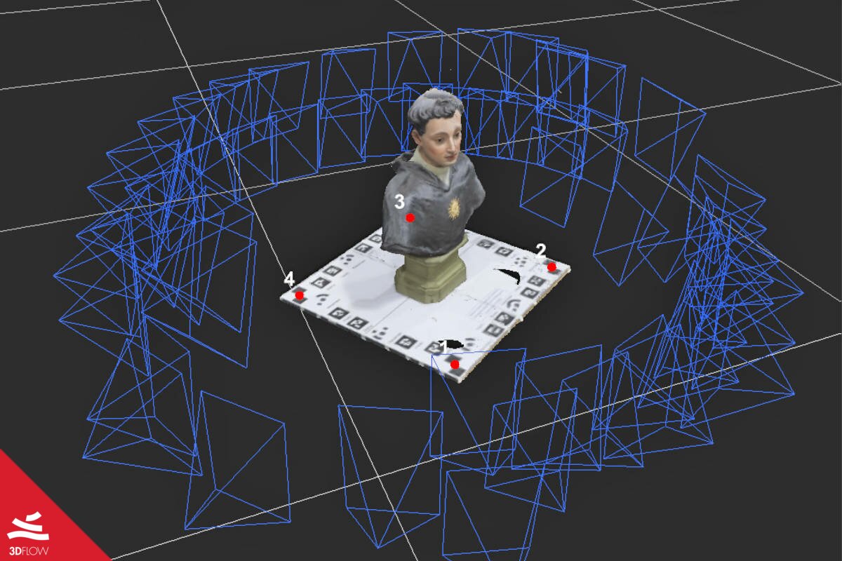
The Bust of San Nicola da Tolentino

Cultural Heritage, Virtual Museum


This case study has been kindly provided by Alessio Cardaci and Pietro Azzola of the School of Engineering, University of Bergamo, Italy, and Antonella Versaci of the Faculty of Engineering and Architecture, University of Enna “Kore”, Italy. Their work had been inserted within the program of the event “LowCost 3D” which took place in Strasbourg, France, on December 2nd-3rd, 2019.

View Case Study

Cultural Heritage

View Case Study

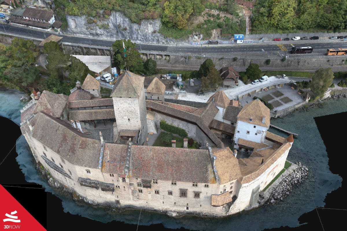
The Chillon Castle

The Chillon Castle – Photogrammetry for VR and AR

Virtual Reality, Augmented Reality, Cultural Heritage


Digital artist Chris Blaser of g3D art-e-motion, along with Circle Lab GmbH, is working on a new Army museum in the area of Montreux, Switzerland. The museum will be opened in 2020 inside the Fort de Chillon, right above the medieval castle Chillon. The goal here is to extract a Low Poly version of the castle with Normals from the High Poly output for VR and Realtime Preview.

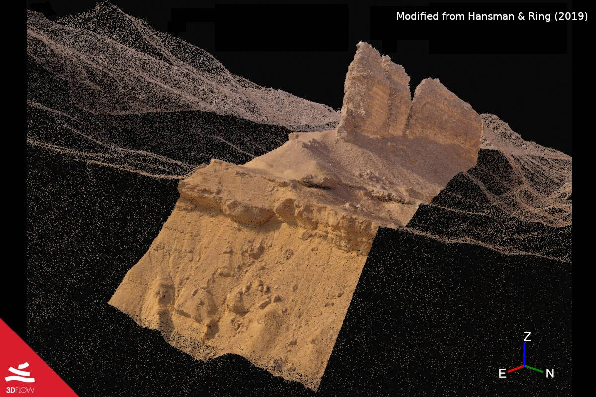
The Jabal Hafit anticline

Geology, Aerial Photogrammetry


Reuben J. Hansman and Uwe Ring of the Department of Geological Sciences of the Stockholm University, presented a workflow for field geologists that includes the usage of aerial photogrammetry to cover the wide area of the Jabal Hafit anticline in the United Arab Emirates. The aim is the extraction of geological information from the 3D reconstruction to create a 3D geological model

View Case Study

Anticline

View Case Study

QuarryVolume

Quarry Volume Monitoring

Volume monitoring


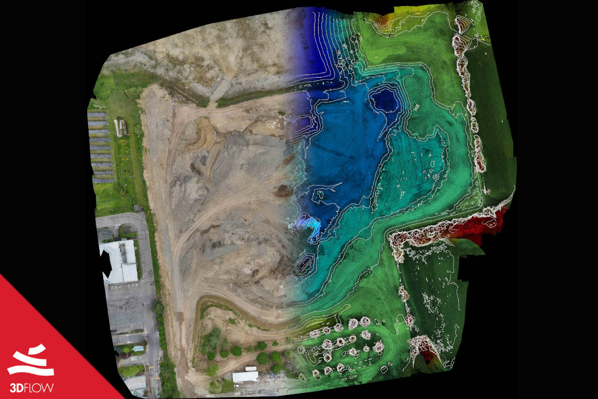
Zerolab, Italian design studio, applies aerophotogrammetric survey across a quarry being exploited as landifill for aggregates. The main goal is to periodically survey the volume increase of quarry material.

Creation of game assets

Videogames, Modeling


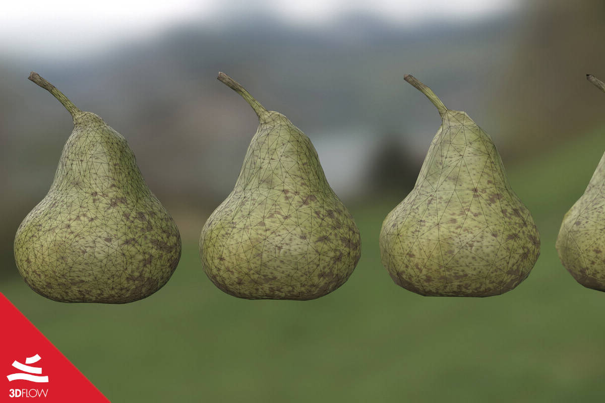
Tomáš Búran – 3d artist making models for the Game Industry and for VR medical applications – will guide you through his process of generating smaller objects like fruits, vegetables, small statuettes etc. using close range photogrammetry. In this case study, the target is asset generation for videogames using 3DF Zephyr.

View Case Study

Videogames

View Case Study

Multispectral

Multispectral Images

Precision Agriculture


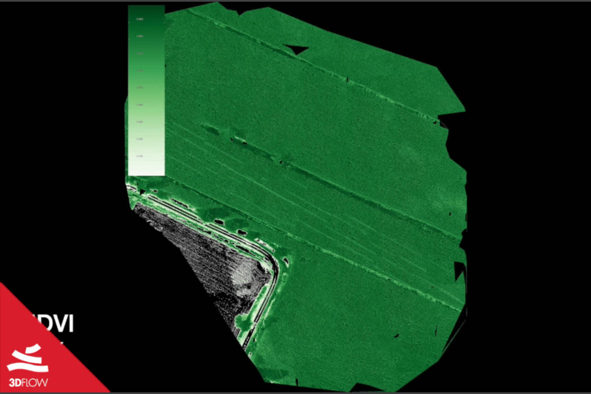
DL Droni SRL, Italian company providing aerial photography and photogrammetry services used a specific camera to shoot multispectral photos of countryside area to monitor vegetation and processed them with 3DF Zephyr Aerial.
3DF Zephyr Aerial allows you to easily process multispectral images and create a custom output band combining output bands from multispectral camera.

19* century cemetery

Archaeology


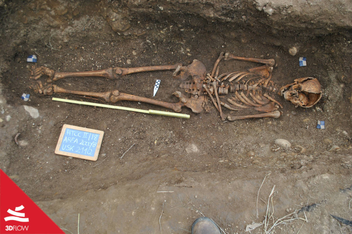
IRLAB (Institute for Research and Learning in Archaeology and Bioarchaeology), a 501 (c)(3) organization conducting research projects on funerary and archaeological contexts both in Italy and in the United States, shows a skeleton (identified by the code USk2110) belonging to an adult individual (about 25 y.o.) uncovered in a 19* century rural cemetery in central Ohio (Harrison Township Cholera Cemetery) where a cholera epidemic took place in 1832 and 1849.

View Case Study

IRLAB

View Case Study

Caracalla

Arch of Caracalla

Photogrammetry & BIM


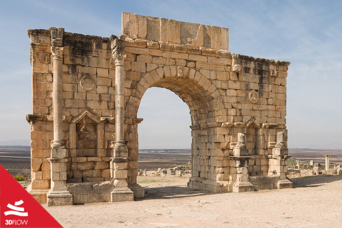
The Dar_Med Unit, a group of teachers and researches of the University of Florence headed by Prof. Giovanni Pancani took advantage of 3DF Zephyr to 3D reconstruct one of the most astonishing, to say the least, landmark of the surroundings, namely the Arch of Caracalla at Volubilis, the ancient capital of the kingdom of Mauretania located near today’s city of Meknes, Morocco.

Calenzano

Mixed Aerial / Ground


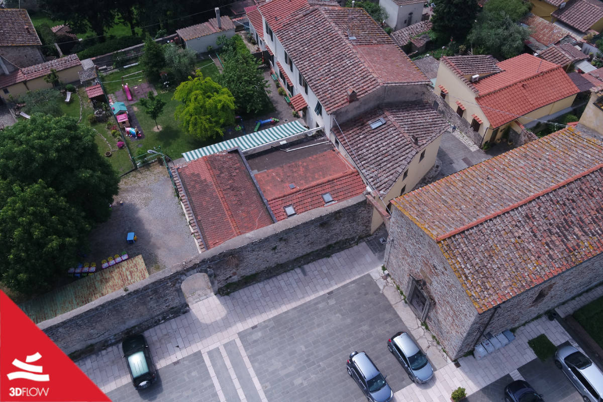
Microgeo, our exclusive Italian reseller for 3DF Zephyr Aerial show you Calenzano, a small Village in the region of Tuscany, near the city of Florence, Italy.
This project shows how the power of 3DF Zephyr allows you to merge different survey methods such as ground pictures, aerial pictures, and laser scan.

View Case Study

Calenzano